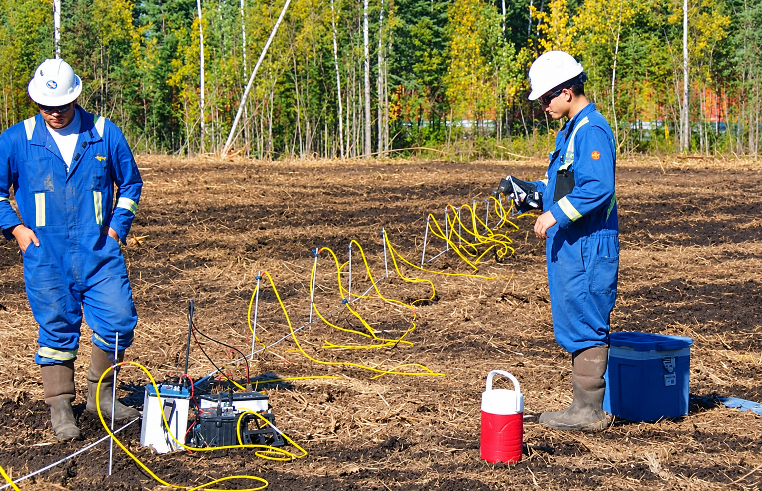
Drilling a water well is expensive, and a dry or salty borehole is a costly mistake. Before a rig moves to site, geophysicists use electrical resistivity tomography (ERT) to look underground without digging. It is one of the most practical tools for groundwater exploration, especially in arid regions.
How the method works
Metal electrodes are placed in a line on the ground. A small electrical current is sent through some of them, and the voltage is measured across others. Different materials resist current differently, so the readings can be processed into a 2D or 3D picture of resistivity below the surface.
What the results tell us
- Clay layers usually show low resistivity and rarely yield much usable water.
- Clean sand and gravel with fresh water usually show higher resistivity and are good drilling targets.
- Salty groundwater conducts electricity well, so it also shows low resistivity, which helps map the boundary between fresh and saline zones.
Why it saves money
A survey can show where the best aquifer zone lies and how deep to drill, so wells are placed with evidence instead of guesswork. It can also reveal a saline zone before a well is drilled into it.
Good to know
Resistivity is an interpretation, not a direct measurement of water. The best results come from combining survey data with existing borehole logs and, where possible, a test well.
Where it is used
Besides water supply wells, ERT is used for mapping salinity, studying aquifer geometry, locating clay barriers and planning recharge or drainage works.
Planning a well or a groundwater study? Tell us about your site.
Contact Us